

Women in STEM face challenges and underrepresentation – this course gives them tools to succeed
- Written by Filomena Nunes, Professor of Physics, Michigan State University
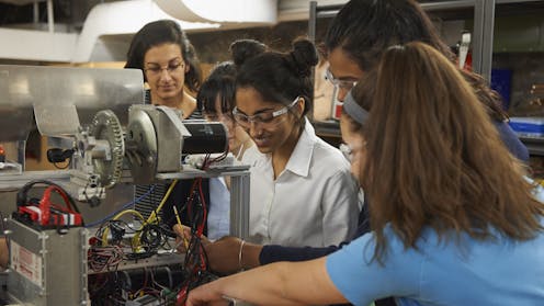 Women with strong networks and communities are most likely to succeed in the STEM fields. LWA/Dann Tardif via Getty Images
As a graduate student in physics, I was often the only woman in the room. As I gained more experience, I learned valuable lessons about the scientific community and how to better advance my career. Once I started mentoring...